
We are continuously upgrading. Here's where we're going next.

April 2024
Nearmap Partnership and Integration
We've partnered up with Nearmap! If you're a current user of Nearmap, you can insert your token into the Road Intelligence platform and have a clearer view of the satellite map.
.png)
October 2023
Time Selection in Intersection Analysis
Time selection is now available for Intersection Analysis so users can be precise with their work.
.png)
November 2023
Boundary Selection
No more guessing! Local Authority Districts and Statistical Areas are now a selection choice in the Origin-Destination tool and for downloading near-misses.
.png)
July 2023
Origin-Destination Tool Released
Origin-Destination is now out of beta mode and integrated into the Road Intelligence platform.
.png)
June 2023
New Case Studies Added to the Learning Hub
The Learning Hub has been updated with new uses cases and has been repurposed with new resources on our new product - the Road Intelligence Platform.
June 2023
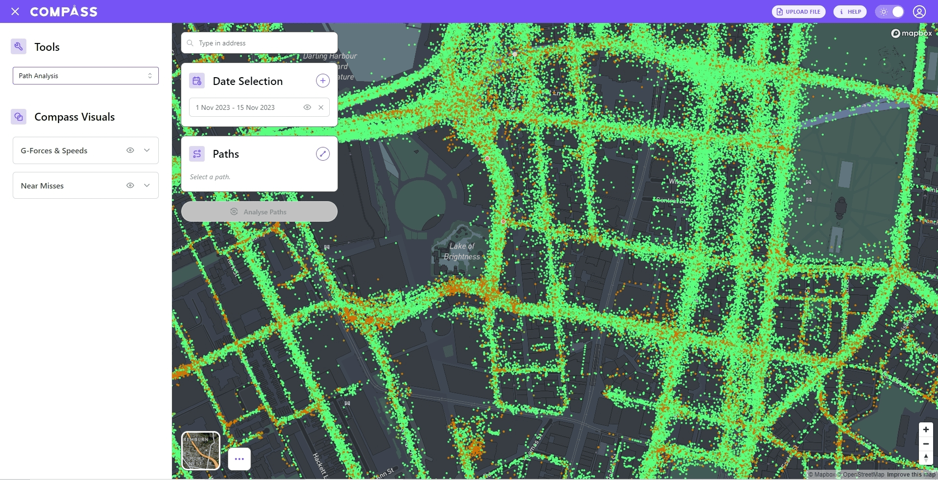
Road Intelligence Platform Released
The Road Intelligence platform is released. The previous products have been merged together for a seamless workflow and better experience.

May 2023
Track day 2023
Compass IoT went to the Brisbane RACQ Centre for another successful track day. The experiments focused on understanding g-forces and perfecting our algorithms with our clients.

February 2023
Road intelligence platform - product integration
Survey, Safepoint, Brakepoint, and Pavepoint are going to be combined so users can have more capability and flexibility for their projects and use cases.

December 2022
Better performance for processing speed
A new method for processing has been deployed to improve processing performance . Efficient and less waiting time for customers for each query.

December 2022
Preparation for global scaling starting
Compass IoT is ready for the world! Preparation for global users has already begun with groundwork in place as well as a new global website.
.png)
November 2022
Quicker updates for Brakepoint
From the hard work of Compass developers, Brakepoint now updates on a daily basis rather than monthly.
.png)
October 2022
OD tool (Beta)
Compass IoT made a prototype for the purpose of doing origin-destination studies which will be available in the future for customers.
September 2022
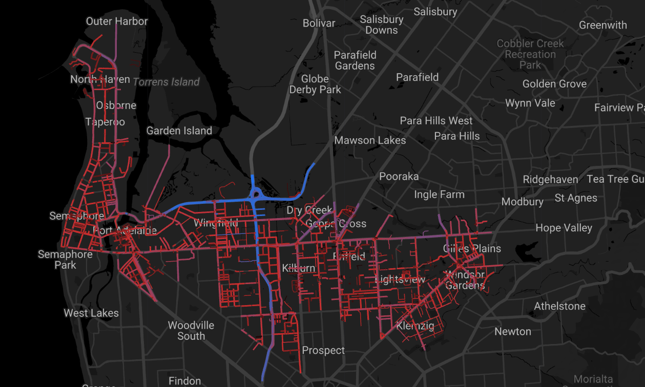
Speed dashboard prototype
A prototype was created to see the speed on a road network in Adelaide. This prototype showed where the 85th percentile speed (i.e. speeding) occurred and will be used in future platform iterations.

June 2022
Real time API product
External companies with specific use cases can now access real-time Compass data. This allows for software experts more flexibility in their own processing.

October 2022
API product methodology applied
Customers with software backgrounds can now access Compass platform data directly without the need to login.

March 2022
Track Day 2022
Compass recently held a track day with clients to conduct experiments aimed at better understanding the data for the platform, specifically the g-force for Brakepoint. It is now a yearly opportunity to collaborate with users and explore new data potentials.
March 2022
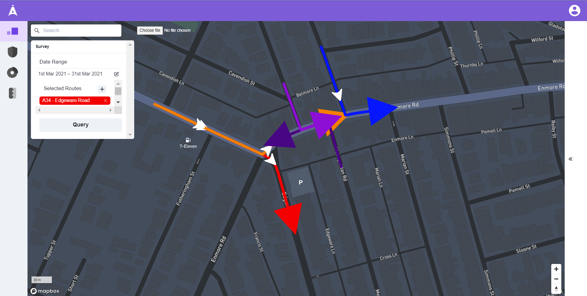
Survey API added for customers
Customers can now access Survey data directly without logging in and see detailed info for any requested path.

October 2021
Filter results by days of the week
We've added in the option to select or deselect specific days of the week to make your data analysis more granular.

August 2021
Added data points
Integrating more data points for better speed accuracy, G-force data, and overall more data points for more locations in Australia.
October 2021
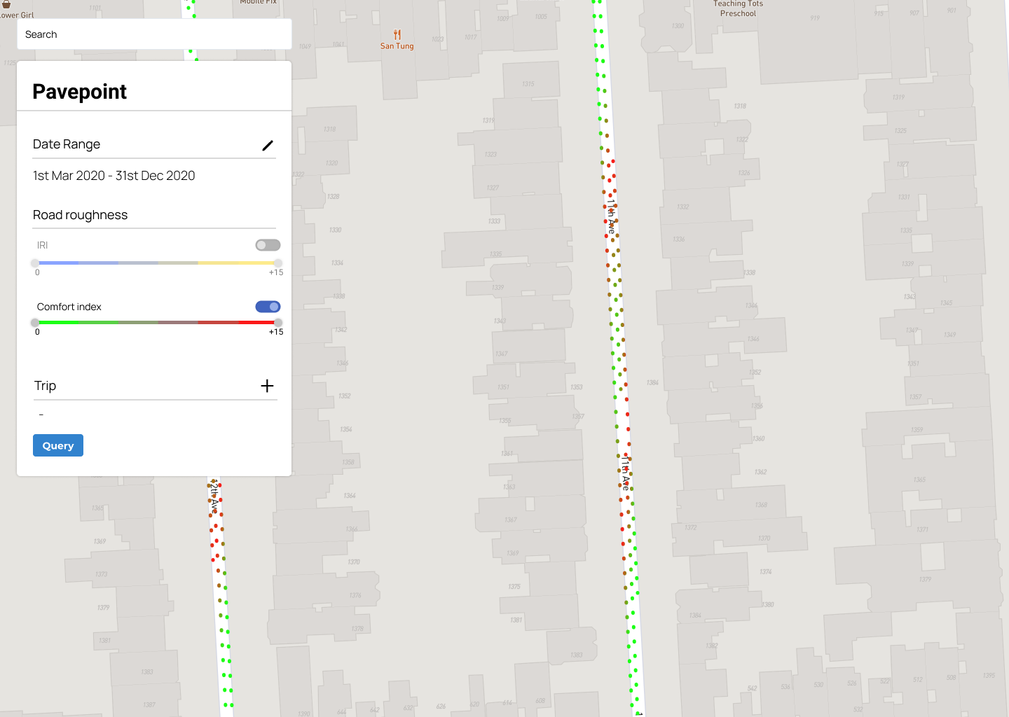
Pavepoint
Pavepoint is an road maintenance tool that allows you to undertake driven road roughness pavement profiling and road quality. Released in early 2022

March 2021
Website upgrade
Redesigned our website to improve online experiences for our customers and the curious onlookers.
July 2021
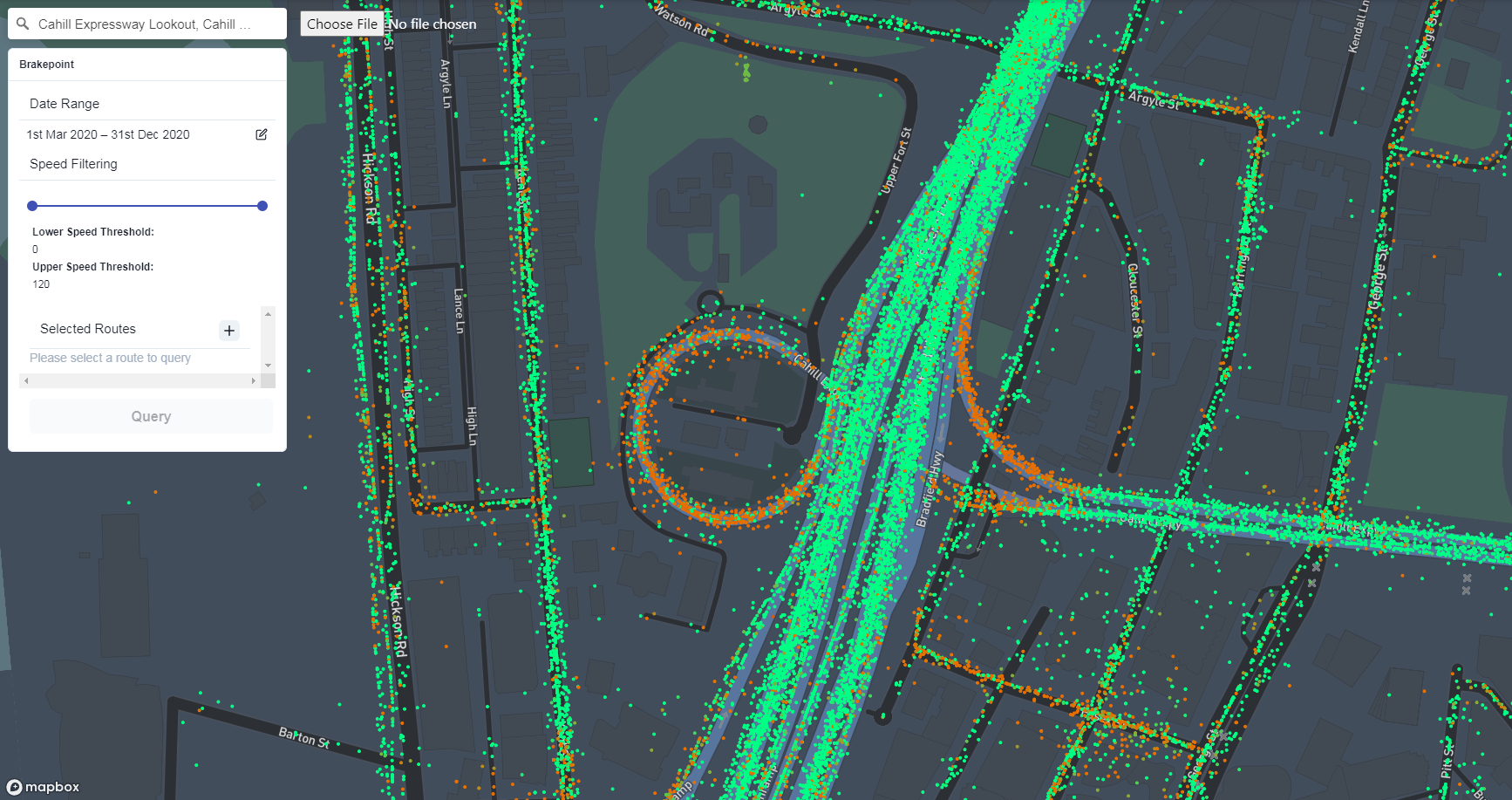
Brakepoint released
Brakepoint is the latest in Compass' line of products. Using G-forces and accelerometer data, you can understand driving behaviour based on speed profiles.

September 2021
Release of FAQ page
We've released a FAQs page to help you better understand the tools in our Road Intelligence platform.
June 2021
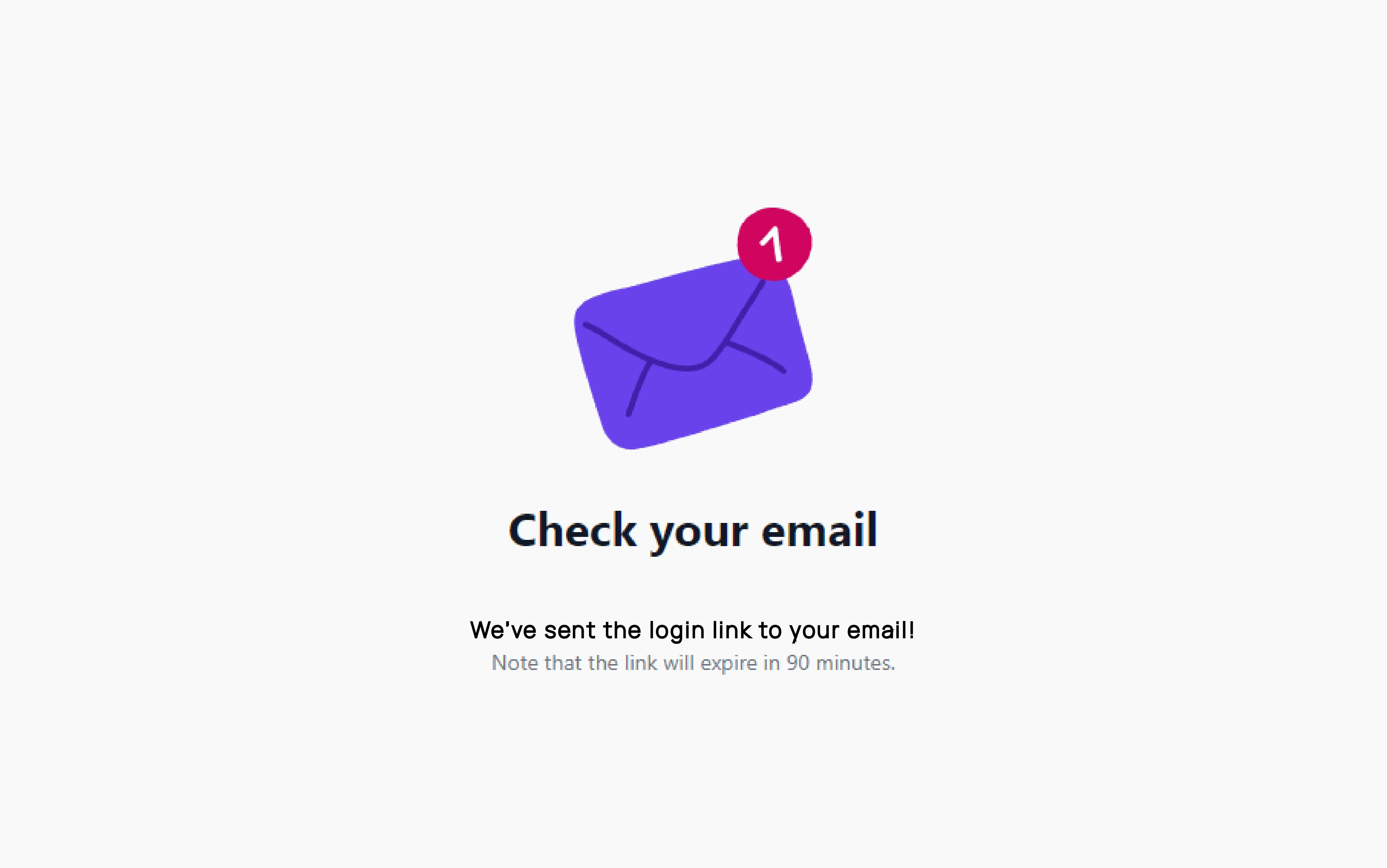
Magic login link
We introduced the magic login link to replace the need to remember a password when you login to Compass

February 2021
Safepoint Released
Safepoint uses GPS and Kinematic data to identify high-risk roads where road incidents are likely to occur in the future. The platform allows for proactive road safety management and focuses on the prevention of serious, fatal injuries.

February 2020
Inclusion of new data providers on the Compass IoT Platform
We aim to provide our clients with the most accurate and well-informed extrapolations of road network data. We've integrated a new private datatset and increased our data coverage.
January 2020
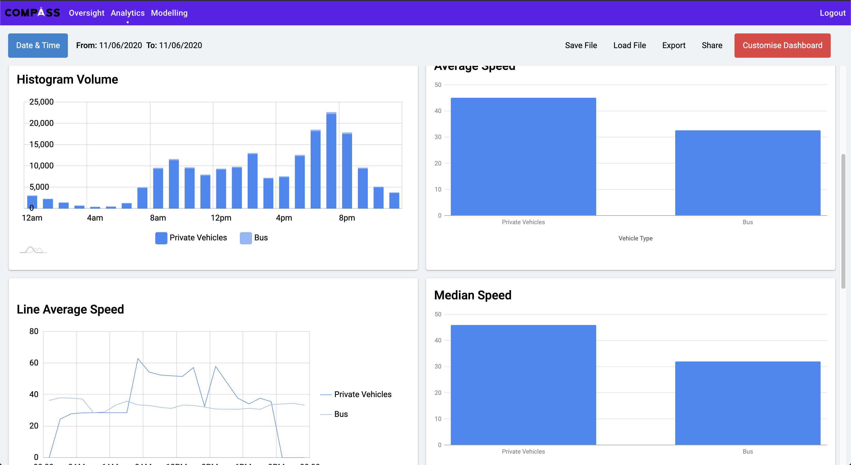
Expansion of Analytics dashboard with the addition of new graphs
Through the inclusion of standard deviation, 85th percentile and median speed, Compass IoT expanded their arsenal of graphs in order to help users generate richer traffic queries.
January 2020
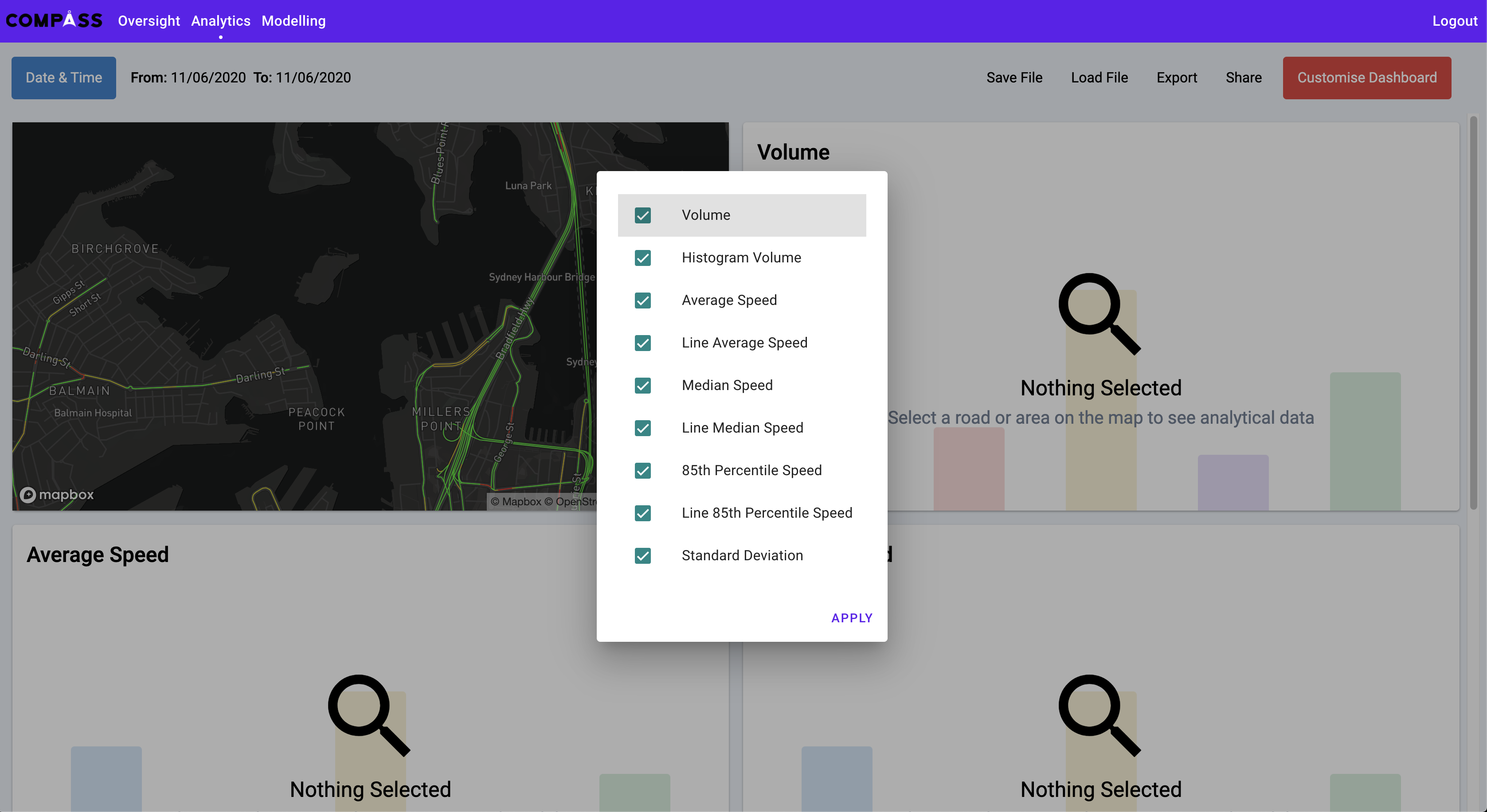
Analytics Customised Dashboard
The customise dashboard feature allows users to specialise how they want to view and understand their traffic data on the Compass IoT Platform. This marked a major landmark in UX for the Compass IoT team.
September 2019
Analytics MVP Launched
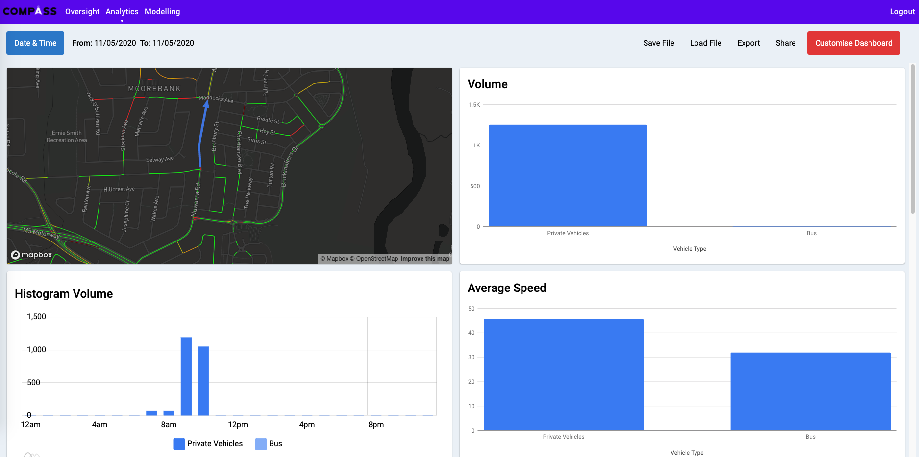
Query any road, view traffic data for public and private vehicles, visualise network data for any road in Australia for any retrospective data and time, in seconds. Gain the ability to make single or multi-road selections, and make quantitative comparisons.
February 2019
Real-Time Traffic Dashboard Delivered
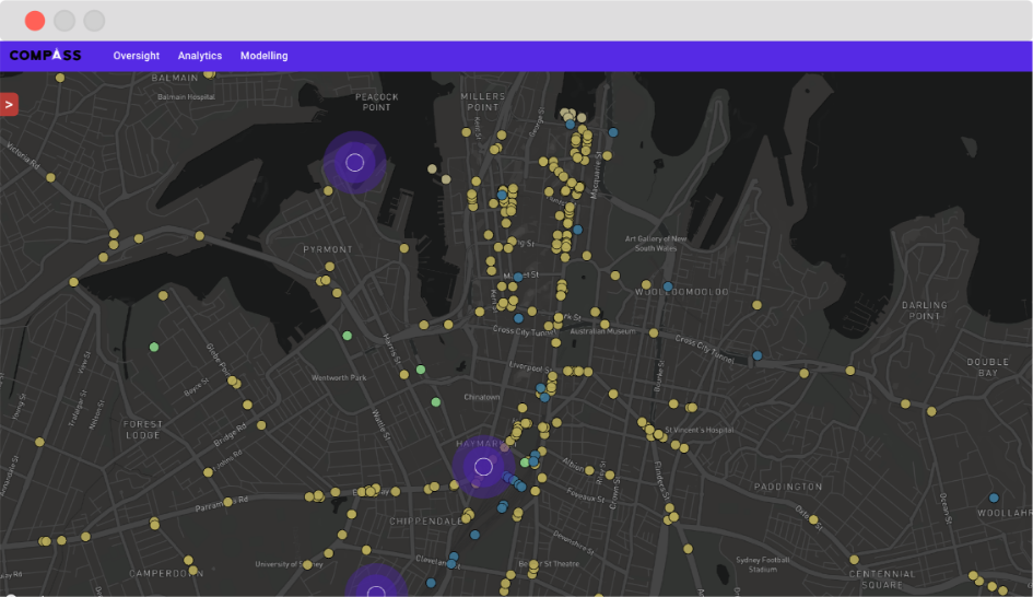
Inclusion of a real-time traffic dashboard in the Compass platform. This allows users to view the scale on which Compass IoT's data is available and ready to use.